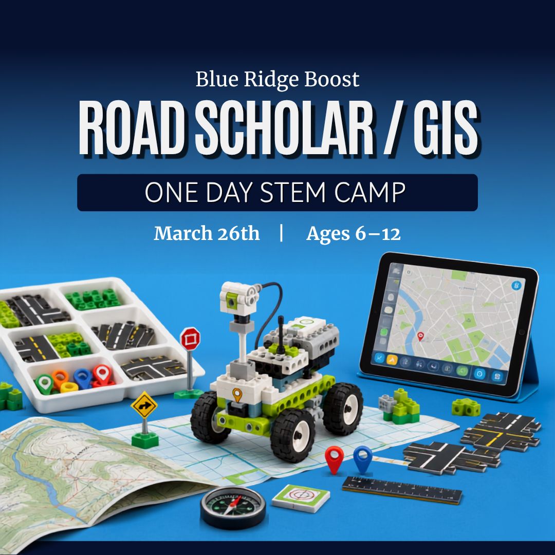
Trailblazers One-Day Camp - March 26, 2027
$139.99
Length
Grade Level
Gaming during Exploration Time
Child's Name
Enter your text
Child's Age
Enter your text
Save this product for later
Have questions?
Trailblazers One-Day Camp - March 26, 2027
Date: 03/26/2027
Camp Topic: Roads Scholar Cartography and Compass Camp
Parents: In 1 day, each child explores maps, navigation, and geographic tools through hands-on Road Scholar and GIS activities inspired by Science Olympiad. Scaffolded tasks introduce map skills, symbols, scale, coordinates, landforms, and basic geographic problem-solving. Each session includes opportunities for older or more experienced students in grades 4–6 to take on added challenges.
Kids: Become a map expert! You’ll explore roads, symbols, coordinates, and real-world geography as you solve navigation challenges and discover how maps help us understand places. By the end of the day, you’ll use your skills to complete a fun mapping mission of your own!
Project Model
Every student works with maps and geography tools to build navigation and observation skills throughout the day. Campers practice reading maps, using coordinates, identifying features, and solving location-based challenges. Helpers are welcome for ideas, but each child completes their own map activities and problem-solving tasks.
Daily Structure
4 ninety-minute sessions per day (S1–S4)
Individual map work and guided challenges with hands-on activities
Differentiation built into each session
Map It Out — Symbols, Coordinates, and Navigation
Outcomes: Learn basic map-reading skills, use legends and scale, identify coordinates, recognize landforms and map symbols, and complete navigation challenges.
S1 Map Basics + Legends
Activities: Explore different kinds of maps and learn how to read titles, legends, symbols, and compass directions. Practice identifying important map features and understanding what symbols mean.
Words: map, legend, symbol, compass rose, scale, direction.
Level Up (Grades 4–6): Compare two different maps of the same place and explain how each one shows information differently.
S2 Coordinates + Finding Places
Activities: Practice using rows, columns, and coordinates to find places on a map. Learn how map grids help us locate features quickly and accurately.
Level Up (Grades 4–6): Use more detailed coordinates or complete a challenge that requires finding multiple locations in sequence.
S3 Roads, Routes, and Landforms
Activities: Identify roads, landmarks, bodies of water, and landforms on maps. Use map clues to plan a route or solve a geography challenge.
Level Up (Grades 4–6): Plan the best route between multiple locations and explain the choices using map features, distance, or terrain.
S4 GIS Mission + Showcase
Activities: Put everything together in a final mapping mission using printed maps or beginner-friendly GIS-style activities. Campers solve a challenge, share what they found, and reflect on how maps help us understand the world.
Reflection: What clues helped you most? What was tricky to find?
Level Up (Grades 4–6): Use layered map information or extra challenge clues to solve a more advanced location problem.
Camp Essentials:
- Ages: 6 to 12 years old.
- Times:
- Full-Day,8:30 AM–5:00 PM
- AM, 8:30 AM - 1:00 PM
- Location: 2171 Ivy Rd, Charlottesville, VA 22903
- What to Bring: Water bottle, lunch, and one or two light snacks.
- Video gaming: Allowed with parent permission during Exploration Time
- Tech Provided: Computers and robotics kits (for in‑camp use only; equipment stays with us).
- Skill Level: Beginners welcome
- Dress Code: Comfortable clothes; indoor‑friendly shoes
- Contact: camps@yblueridgeboost.com • (434) 260‑0636
- Allergies/Medical: Share details during registration; bring any necessary meds
- Behavior & Safety: Kindness first; follow staff directions; internet safety rules apply
Powered by Lightspeed
Display prices in:USD